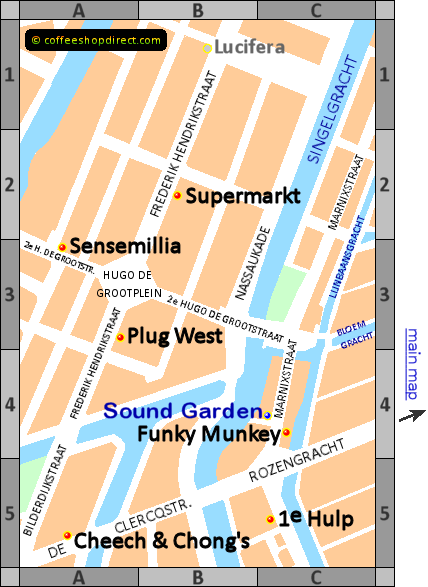
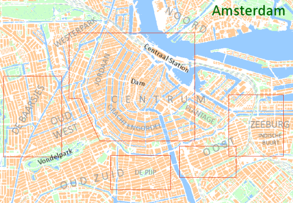
This is an interactive map of coffeeshops open for business and welcoming tourists in 2022.
The map has been shrunk to fit on your device. Please stretch it and scroll to the area you are interested in.
Click on any ![]() shop name for more details.
Further info at the bottom of the page
shop name for more details.
Further info at the bottom of the page

This map shows a cluster of coffeeshops just to the west of the Jordaan.
It's a crossroads at the intersection of three districts.
Frederik Hendrikbuurt itself is the area around Hugo de Grootplein and along Frederik Hendrikstraat.
De Clercqstraat is in Da Costabuurt and
Rozengracht is in the Jordaan.

Walking along Rozengracht, past coffeeshops
Black Star
and
Flower Power
on the
main map,
will bring you to the junction with Marnixstraat between
Funky Munkey
and
1e Hulp
on this map.
Alternatively, following the Bloemgracht, close to Paradox coffeeshop, and crossing the bridges over Lijnbaansgracht and Singelgracht leads to Hugo de Grootplein.
It's not far to walk from the centre but trams 13, 14 and 17 run along Rozengracht to stops around the junction with Marnixstraat.
Trams 3, 10 and 12 also pass through this area (there are tramlines along Frederik Hendrikstraat, Marnixstraat and De Clercqstraat) but these routes do not go to Dam Square or Centraal Station.